After a good breakfast (scrambled and toast for Liz and porridge for me), we left the Crown & Cushion for London by ten – we rallied somewhat due to the weather forecast announcing torrential downpours and thunderstorms for around lunch and we wanted to cycle as far as possible in dry conditions.
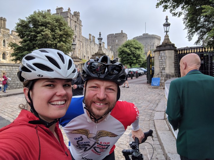
Right across the Thames is Windsor, where we cycled up to the castle hoping to recreate this photo of Anne.

I guess these castles do not maintain themselves and are attractive to tourists, so compared to the free public access to the grounds in 1948, it is now 21.20 pounds per adult to see the castle. This, together with the long queue at the ticket office, dissuaded us from a visit. But here is a pano from Google from the same vantage point.

The route today would follow Route 4 of the NCN in a big loop south around Heathrow airport reaching Weybridge and following paths along the Thames for large portions. Our route planning/navigation setup is as follows: We use the Strava route planning tool to create the route while checking what roads and paths to follow on the NCN map. Then, we download the route as a GPX file that can be uploaded to Liz’s Garmin Edge 1000 which is similar to a car SatNav and my Garmin Fenix 3 which is like a smartwatch with a very basic navigation mode (there is no map context shown). Given the navigational superiority of the Edge 1000, Liz always rides in front and is in charge of finding the right turns.
Of course, both the routing and navigation is very different to the way Anne and Reece traveled in 1948. The main roads connecting their destinations would be rather uncomfortable to ride given the amount of traffic nowadays. The online maps and GPS devices allow us to find the cycle paths reliably, even when signage is not immediately obvious, and we can avoid the busy main roads.

Given the flat terrain, we made good progress and besides a tiny, tiny drizzle during a snack break, the torrential downpour also never materialized. Very lucky. During the morning and lunch hours, it was rather hot and humid, which kept us in belief that we would run into a thunderstorm before arriving.
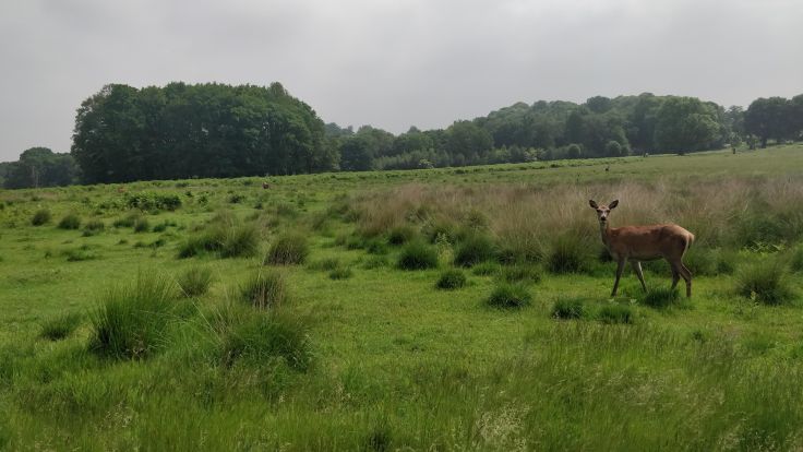
The highlight of the day was riding through Richmond park, just a few miles outside London. Its vastness was very much like the first days of riding in Scotland. We also passed many deer, sometimes in herds, that were not very shy.
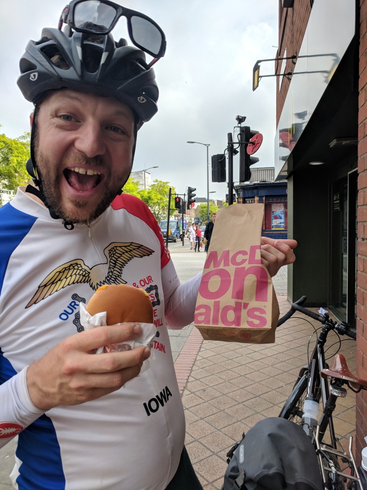
And then we were in London. Route 4 took us across the Putey Bridge to Chelsea and Pimlico, and then back across Lamberth Bridge, from which you can see Westminster and the London Eye, where soon left the route to cycle to near Elephant & Castle where our friends Luke and Kate live who we can stay with. Before going to their house, we had to do a quick snack stop at Mickey D’s for a cheeseburger and two McFlurries (Oreo) – 3 pounds.
For dinner, Kate made delicious fajitas and a home-cooked meal was a special treat. Tired after dinner, we put off journaling to today, another rest-day. Long days riding and the daily sunscreen, packing, washing, route-planning, etc. -routines take more time than anticipated (I had great plans to read books), so journaling then basically takes a chunk out of the free time between dinner and sleep. For Anne and Reece, it must have been similar, as their journal entries shortened quite a bit on the road compared to their days in St. Andrews.
Total distance/elevation to date: 1118km/9226m
Day 14 Route and Stats

Leave a comment