Today we rode too far and with too much climbing in too much heat. But with good hydration and a lovely picnic breakfast bundle from the hotel last night, we fared well, considering, and made it to the lake for a dip before the World Cup final.
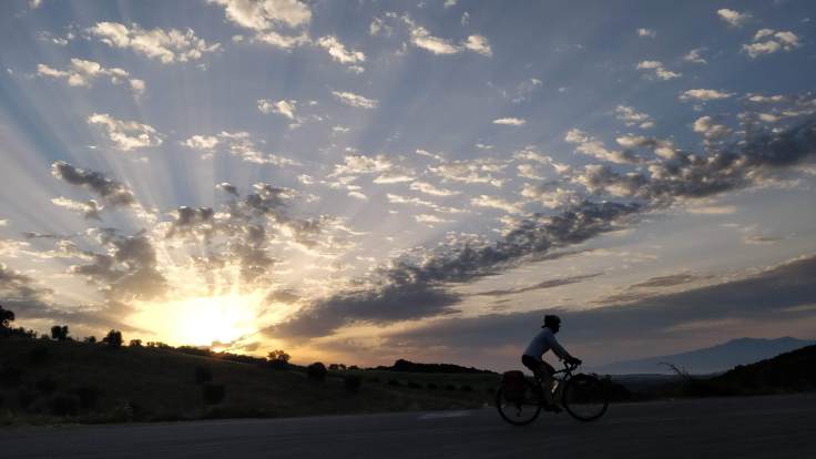
The route started off with stunning lighting and the smell of pine over Tuscan countryside, and we cruised for the first 30+ KM. I was jazzed and unusually playing cheerleader to Philipp’s route skeptic, likely as I had planned it. Then came the first big climb, followed by more climbing. I don’t remember the details of a lot of this – I spent a lot of time on the climbs looking at my computer, counting down to the final kilometer of each section.

I do remember a long forested descent after the highest point (900M), which felt tropical and bizarre in contrast to the hot fields of wheat that lay below. We were high enough to get some spectacular views of said fields – a mix of wheat and grapevines – when we came out of the forest. Then got started on the final ascent, traveling along a road that had been blasted out of stone, stopping for lunch about 2PM in the hilltop town of Sorano, which looked like itself might have been blasted out of stone.

Nothing like a plate of home-made pasta to fuel you to get back on the road, and we optimistically started dreaming of the swim that lay at the end of the last 30KM. You could call this the last mistake.
When planning the route, I had been surprised that Strava didn’t take the course along the shore of the final lake, figuring swims and scenery might be popular with other riders as well. I manually dragged Strava’s proposed route to follow the lake, and checked on StreetView that the new route was paved.
A few kilometers before we turned off to this route, Philipp asked whether I’d checked it, noticing that we had about 300M more to descend and only a few kilometers in which to do it. I had checked for pavement, but not gradient, on the descent, and as we turned off onto what looked like a gravel road, with Philipp’s estimate of 15% gradient, only the knowledge that it was shorter than Strava’s proposal kept me from turning back.
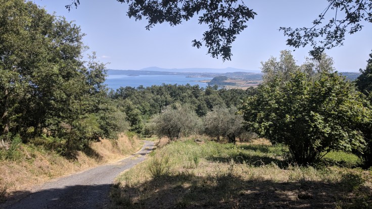
Two kilometers of harrowing descent on full brakes or on foot later, with only patches of pavement, we were dropped off on another gravel road, complete with dust cloud plumes from cars seeking beach parking. Still with 10KM to go, we ate dust until the route turned back away from the lake – and smack into a 20% grade.

Strava, you win today. But give us a swim, gelato, and some down time watching the World Cup, and we’ll be back out tomorrow.

- KM 128 – FIN
Total distance/elevation to date: 3792km/30’023m
Rest days: 13
Route and Stats
Relive Video

Leave a comment