Day 22: Lier to Brussels

img_20180610_114415
Belgium can do perfectly smooth cycle paths, too.

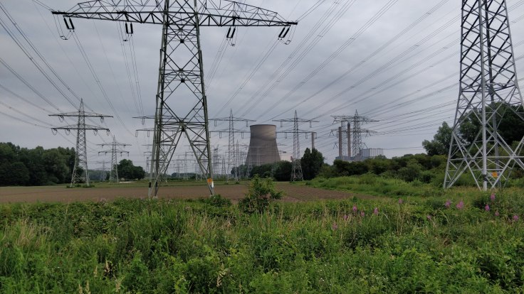
Nous sommes en Belgique! Don’t know how to say that in Flemish, but at least that we can’t blame on the 8% tripple and 3.5% Kierk we enjoyed last night to cap off the lovely evening at a local restaurant (fish and lamb – our fanciest restaurant so far at ~24 euro entrees).

Spent some time yesterday evening sketching out the next few days, to see whether it’d work to visit some friends in Paris, and decided to slow down a bit in order to not arrive there before the 20th, but not add any side trips (were considering some brewery-driven detours), leaving us a few more days in Belgium or the north of France to eat well and rest a bit more.

Started off late today after we made an open-window deal with the (heat) devil in last night’s hotel, subjecting ourselves to hungry mosquitoes in exchange for some small breezes through the only window that opened. Luckily (?) the mattresses already were on the floor, so it was easy to drag them over to the open window at 3AM and get some rest.

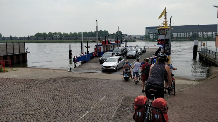
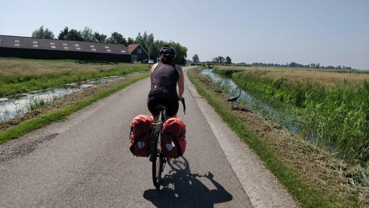
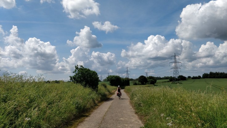
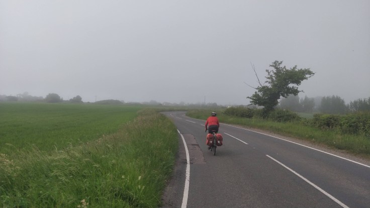
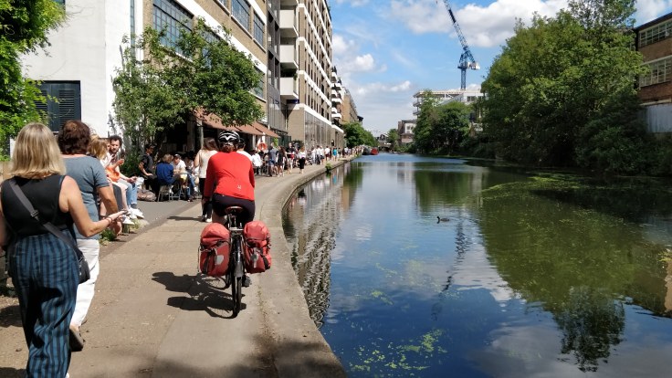
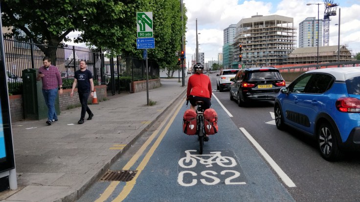
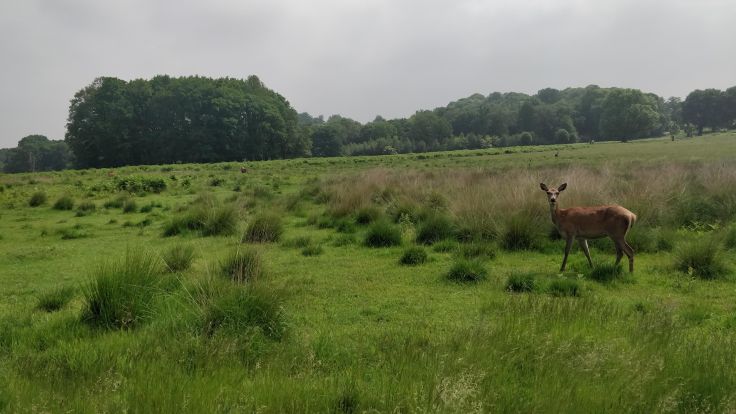
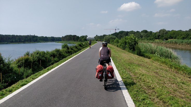
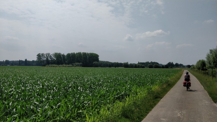
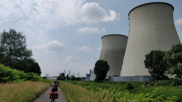
The route was short and we whizzed through some parks along the first 20km. Stopped for a cold drink at a wind surfing school on a lake, and then on into Brussels. To brace ourselves for sometimes-stressful city riding, I proposed a game giving Philipp points for every right turn, and taking points for every left turn. The terrain wasn’t in a playful mood, however, the cycle paths giving us a straight shot for most of the way into the city, just until navigating traffic became too hectic to play anyway.

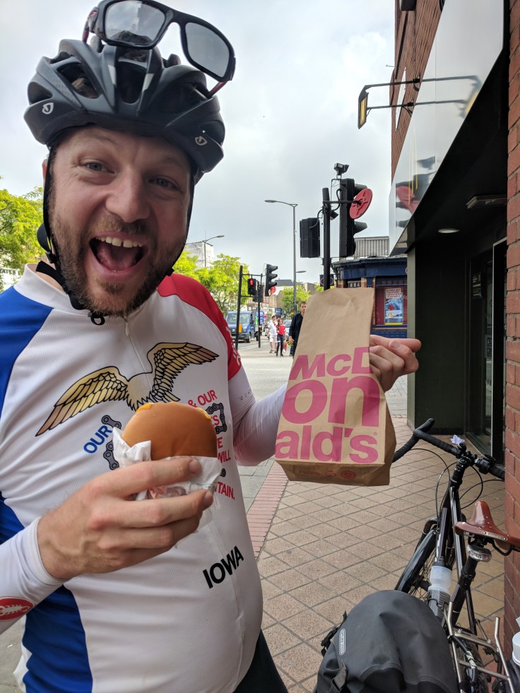
Picked up some bread, cherries, and more peaches at a corner shop (3.40 Euro, open on Sunday!) and practiced talking French to each other as we navigated the final kilometers to the hotel. Passed loads of tall, beautiful apartments with curved tops (as opposed to the Danish geometric trend) and wide, tree-lined streets, observing that it was starting to feel more Parisienne, just as Anne and Reece had noticed. Found our lovely home after some cobblestone stretches.

The two of them had three social visits to make in Brussels, mostly of friends-of-friends, so stayed three nights, enjoying a richer country than the Netherlands, remarking on the higher prices but availability of pears and meat with garlic sauce.

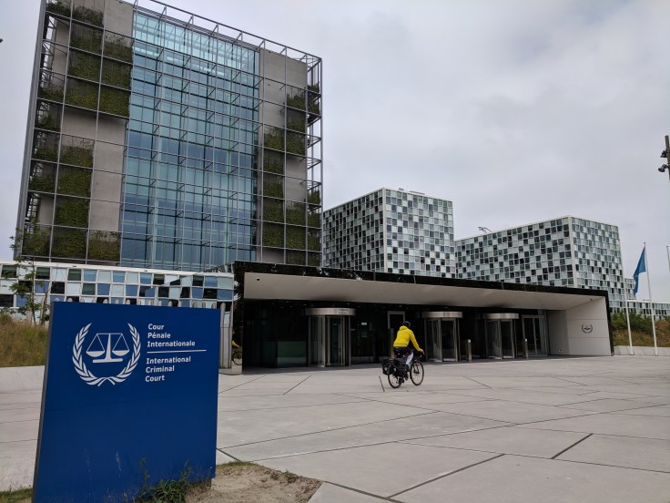
Already on the new, more relaxed plan, Philipp asked if we could book for two nights, but “no soap” as Anne and Reece would say, so we’ll enjoy it for this evening at least – starting at a local coffee shop. Wile searching for coffee shops, I found a list recommending coffee spots for Brexit negotiators, I assume near the U.N. complex, but we’ve so far managed to avoid much politics this trip so we’ll stick to our hipster haunts. Unless the suits have better frites, then I’m going in.

img_20180610_111929
Zimmer Tower in Lier, Belgium says we’re late 13 ways
img_20180610_114428
Passing many cycling clubs and teams on the way
img_20180610_134353
Iowa or Zemst, Belgium?
img_20180610_141239
Gas power plant owned by E.ON
img_20180610_153022
Urban cycling = need more coffee. Brussels!

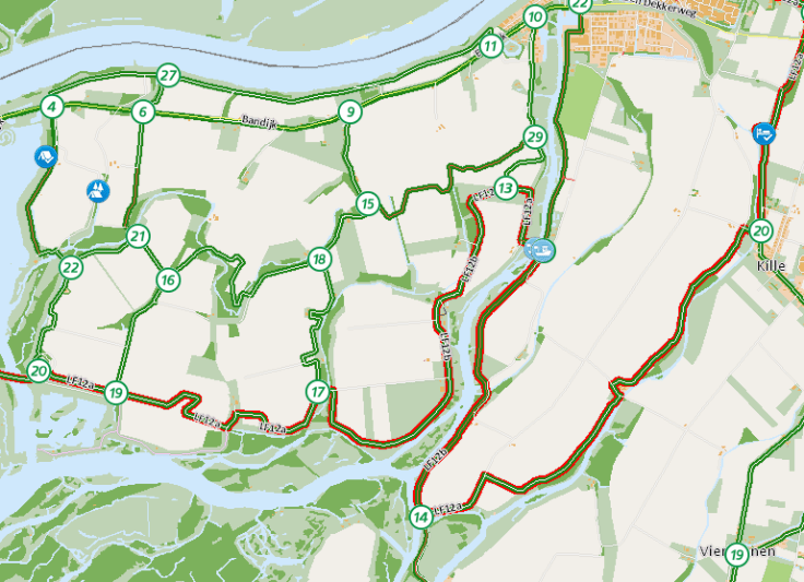
Total distance/elevation to date: 1731km/10’720m
Day 22 Route and Stats

Day 21: Fort Bakkerskil to Lier

Welcome to Belgium. Drinking Westmalle in Westmalle.

The recap of yesterday’s rest day is short: Slept in, breakfast, more sleep, bike maintenance, shopping, lunch, more sleep, yoga and reading, dinner. They pass so quickly!

Staying at the fort was really cool, also literally: The meters of brick wall around us and the meters of soil above us (for natural vegetation camouflage) kept the room naturally cool and quiet, which was excellent for sleeping (I also successfully hunted down the two mosquitoes in the room before going to sleep which helped, too).

I was worried before we started the trip that all the cycling would get boring at some point, but that has not been the case so far. I get excited every morning about what we might discover during the ride.

Up to now, we did an average of 80km per cycling day, which can be driven by car in an hour – so the three weeks we cycled so far could be compressed into just two long days in a car. On the other hand, it would have taken at least 6 weeks (at 40km a day) of walking to cover the same ground. I really like the speed of cycling: We move slowly enough to take in flora and fauna, but are fast enough to see the scenery change quite a bit within days.

Today was not the best flora and fauna day though. Large parts were in urban areas or on broader roads. We can’t complain about the broader roads though, because we mainly took them to shorten today’s distance from 119km to 105km. The bike paths sometimes squiggle quite a bit.

img_20180609_165622
A large part of today looked roughly like this. Still decent bike infrastructure in Belgium.

Sadly, we left cycling heaven today. I think I was biased by the Swiss-Dutch couple’s comments the other day and thought that Belgium was indeed not as nice as the Netherlands. But it was still ok, most roads we were on had some kind of cycling path (but not as smooth as in the Netherlands; I wonder what % of Dutch GDP goes into roads and cycle paths, boy are they nice).

img_20180609_1107411
The Amercentrale coal power plant near Geetruidenberg.
img_20180609_124411
After entering Belgium, we followed the river Mark for a bit, which was very nice.
img_20180609_132809
A Strawberry farm we passed had this very interesting setup and breed of strawberries. You can pick the strawberries standing upright. And look at how many berries are growing!

We had very good legs today and averaged a fast 22.4km/h moving speed over the 106km to Lier. So after just 3.5h on the bike, we reached Westmalle and cycled past the abbey where the world-famous dubbel and trippel are brewed. Of course, we stopped and had two beers and a dozen Bitterballen (thanks for the tip, Clare!), which are basically deep-fried gravy. They are better than it sounds.

With a good buzz going (the dubbel/trippel have 7% and 9.5%, respectively), the last 25km to Lier just flew by. Near Lier, we cycled along a broad canal which looked inviting for a post-ride swim. I hope we can end most days this way going forward.

img_20180609_172626

Total distance/elevation to date: 1676km/10’601m
Day 21 Route and Stats

Day 20: Bodegraven to Fort Bakkerskil

img_20180607_135648
Another beautiful day on the smooth cycle paths of the beautiful Holland

Ok, now I had to Google what the difference is between Holland and the Netherlands. The former is the combination of two provinces (South and North Holland) and the latter is the proper name for the whole country (12 provinces). Now that we left Holland and entered Brabant province, I should probably not compliment the locals with “you have amazing cycling infrastructure here in Holland” anymore.

The day started with an amazing breakfast at the Stalzolder B&B, where we sat with a Swiss/Dutch couple and spoke Swiss German the whole time! They are cycle-touring as well and are going to a place in the Netherlands (ha!) that they have never been. I understand that if you are used to cycling here, you would have a hard time going anyplace else. They said they once tried cycling past Belgium (apparently not AS nice cycling infrastructure as the Netherlands, but still ok) into France, but decided to turn around after deeming the cycle paths subpar. I can relate to that feeling after enjoying the perfectly groomed, super-baby-bum-smooth, dedicated cycling paths for the last couple days.

Anne and Reece already mentioned the dedicated cycle paths, and it makes sense that if both culture and city-planning have been very cycle friendly for the last 70+ years, the infrastructure will look the part.

Another cool feature of the infrastructure here is the navigation system. The cycle network is organized with numbered nodes, and the many signs along the way tell you to which node you are going. So people here navigate with a list like 28, 16, 52, 11, 60, which tells them to follow sings to Node 28, then Node 16, and so on. A lady that passed us at breakfast yesterday even had a clip on her handlebar to hold a small, laminated card with her waypoints (maybe a rented bike that comes with a nice tour suggestion?).

Clipboard01.png
Screenshot of the cycling network around us (we are at the sleep option suggested at the top right) with the numbered waypoints

Back to today’s cycling: Last night, Betsy and Arndt who run the B&B told us that Thursday mornings is the traditional cheese market in Gouda. We arrived in time to see some kind of performance by a farmer and a cheese buyer.

At the cheese market

The man in white later started chatting to Liz and he says he buys/sells 750 tons of Gouda a week (not sure we heard that right). When we said we are from Switzerland he mentioned that he supplies the Swiss grocery chain Denner and that he has a mountain hut in Wallis. Of course, we had to buy some Gouda, too.

img_20180607_114504
Would have been nice, but this was just a photo-op.

First, we did a photo-op with the help of a local councilman who was checking out how the market was going. Then we bought some aged (8 months) Gouda that goes for 12 Euro a kg. Compared to Swiss farmer’s market prices, that is less than half. After getting some bread and apple-filled puffy sugar triangles, we had lunch sorted.

Through farmland we arrived at Krimpen aan de Lek for the first of three ferry crossings of the day that cost us 80 cents a piece. On foot, it is 5 cents less.

img_20180607_134306
Ferry from Krimpen to Kinderijk

Then we noticed lots of tourists around. Sure enough, we arrived in a very Dutch part of the Netherlands with tons of windmills – actually part of the UNESCO World Heritage. Following a national bike route paid off once more! Having completed about half of today’s route, we decided to stop for lunch.

img_20180607_143402
Kinderdijk lunch spot, some of the 19 windmills from the 1700s in the back.

Strengthenend from the quite delicious Gouda (they only sell the bland, non-aged kind at Denner, which is a pity), we cycled on and arrived, having taken another ferry, in the Nationaal Park de Biesbosch. We stopped at the park’s museum for a cold Coke (it was very much summer today) and admired its architecture that makes it blend in with its surroundings.

img_20180607_1633111
A swan nest in the Biesbosch park
IMG_20180607_163833.jpg
Third, last, and cutest ferry of the day that would take us out of the Biesbosch. Had to be called over with a bell and was only 75 cents apiece.

Our stop for the day was a B&B in a 19-th century fort, so we had to get dinner from a supermarket in the nearby town. From there, it was a short ride up the Bakkerskil to the fort, where we were greeted by the very nice owners and two nice, cold radlers. The owners have started and have been running the B&B in the fort for the last several years. They had to restore the fort to its original state from 1880, for which dozens of trucks had to haul soil to the fort for its soil and grass cover. I am writing this in our room that has three meters of soil on its roof. Our room is the old explosives storage and has a wonderful view onto the bike path and landscape. A great find for the rest day tomorrow!

img_20180607_174356
B&B Fort Bakkerskil

Total distance/elevation to date: 1570km/10’480m
Day 20 Route and Stats

Day 19: Volendam to Bodegraven

IMG_20180606_181531.jpg
Spoiler: we made it to De Molen Brouwcafé!

But first, some cycling.

Today flew by as we spun our legs around (can’t really call it cycling) 80k from Volendam to Bodegraven, home of De Molen brewery.

We skipped the breakfast offering in the hotel and headed for Monnickendam, a town about 6km away with beautiful brick streets and lots more shops and cafés.

IMG_20180606_101136.jpg
Still eating as though we’re out bagging peaks. Also, put chocolate hagelslag in a croissant and you have pain au chocolat!

We squirreled half the breakfast away to have as lunch, and picked up a tailwind once back on the cycle route, clocking at least 25km per hour without elevating heart rates. Felt we earned it given headwind karma on the way north.

The cycle route follows the canal system, so we were treated to views of pastures, baby swans (who says cygnet?!) and even saw a crane catch a fish. The houses we do pass seem to be organized as fortresses, with moats and gates and the same sparkling windows Anne and Reece saw, and in the afternoon no shortage of kids playing and swimming near their homes.

img_20180606_115756
A crane but not the one having lunch
img_20180606_134219
A cycle-path draw bridge. We see this draw bridge design everywhere here.

Had another ferry ride (0.70 E each) and crossed a long lake via a cycle-only lane where tons of locals were out at a beach. Some small docks on the sunny side offered a chance to swim, but seemed full so we cycled on until we passed a ‘Pleisterplaats’ – “hangout”, a small park on a wide section of canal with picnic tables, fresh water, and a few couples out sunbathing.  We ate aforementioned sandwiches and took a half dip in the muddy but perfectly frigid water.

IMG_20180606_144659.jpg
Conquered another day’s cycling
IMG_20180606_145105.jpg
Beautiful waterlilies in the canal

Six kilometers more of spinning and we reached Bodegraven, a brick-filled canal town. We’re staying in a bed and breakfast in one of the aforementioned moat-fortified fortresses – really just a lovely home where a couple has created some extra rooms in the back of the house. A quick shower and we set out (on foot, for safety) to De Molen, where we’re now journaling.

IMG_20180606_175906.jpg
De Molen translates to the mill. They are known for high-ABV, barrel-aged stouts and barley wines. Which reminds me that we should order some tap water.

Will leave tomorrow’s route to the bottom of the next glass of Imperial Stout, though our hosts told us of a cheese festival in Gouda (pronounced ‘Khhauda’) which is sounding better with each sip.

Total distance/elevation to date: 1484km/10’387m
Day 19 Route and Stats

Day 18: Haarlem to Volendam

Capture
1948 Volendam FOMO Promo

It’s hard to know when to stop to enjoy things, and when to press around the next bend. We spent last night in Haarlem, and somewhere between the excellent beers, the lovely dinner companions, and the ‘gezellig’ coffee house, I lost interest in whatever comes next. I’ve read worse stories, after all: couple sets out on long cycle trip but finds love in a Dutch town and settles down to a life of upright bicycles and good cheese.

But the well-paved, well-signed routes here do call. Philipp pointed out about missing some museums or tours that our trip is different than Anne and Reece’s – for us, getting access to bits of countryside or non-tourist sections is as hard as it was for Anne and Reece to get to the Tower of London. So just as they binged on museums, I’d like to do as much cycle touring as possible.

Today it was the calls of ferries that got me out of the bakery. I like the logic of it – when the aquatic traffic is more frequent or valuable than the terrestrial, the terrestrial must wait for the ferry. We had two such crossings as we avoided hectic-ness of Amsterdam and headed north from Haarlem toward Volendam, Anne and Reece’s day-trip excursion while in Amsterdam.

Today I heard the sound of tires effortlessly whizzing at 25kph on smooth asphalt. I tasted a perfect picnic lunch. I felt warm sand and frigid water in an end-of-day beach swim. And I marveled at a port of beautiful brick houses at sunset and ate a plate of locally-smoked salmon (though likely should have ventured for eels).

I don’t like Volendam as much as I like Haarlem. We’re due for a rest day soon and I hope it’s in a town like Haarlem. But the point will be to rest so we can get back out on the bikes and enjoy whatever comes along.

volendam.PNG
Volendam hustle in 1948


Bike infrastructure prize of the day: bike trash cans
On-demand ferry service (0.80€ each)
You called?
Swim reward
Pretty Volendam

Total distance/elevation to date: 1407km/10’311m
Day 18 Route and Stats

Day 17: Hook of Holland to Haarlem

img_20180604_123017
Riding through the dunes along the beach between The Hague and Zandvoort

At 8.00, it was time to disembark the ship, which resulted in the earliest start into a day yet for us. After passport control, we realized that our GPS route did not load properly so we had to go old school, and following the signs for the bike route. This also meant that almost immediately, we lost all cycle tourers that disembarked with us because the very first bit of signed bike route did an unnecessary loop that they all must have avoided with their better prepared routes.

A few hundred meters in, we quickly learned that we arrived in cyclist heaven. The cycle paths are dedicated, broad, and well marked here. Not surprisingly, we saw lots  and lots of cyclists along the entire route even though it was a workday. A big difference is also the many panniers that people have here to carry groceries and other cargo around. Here, panniers does not necessarily equal cycle tourer like in England.

Reece and Anne must have felt similarly at the time: “The roads we were on today all had special inside drives for cyclists only, which makes it very nice. And here there are far more cyclists than in even England.” [Anne to family on Sept. 10, 1948] And later: “Except for the language difficulty, though, this is a perfect country for us. I think I like it better than anyplace we’ve been in. Everything is so clean and fresh looking, and the land is flat, so that riding a bicycle is no trouble at all.”

We followed the LF1, the Noordzeeroute, north to Den Haag (The Hague), where we went to the lovely French Cafe Madleine for breakfast and Cappucino. Anne and Reece had stayed the first night in Den Haag, but we decided to shorten the stay to a quick sightseeing tour by bike and visited the Peace Palace, the Binnenhof (national government building), and the international criminal court.

IMG_20180604_104823.jpg
Cycling past the UN Criminal Court


Then it was beach time! The LF1 closely follows the shoreline north. The dedicated bike path is very, very well maintained and looked a bit like a miniature highway going through a miniature national park in the US at times.

IMG_20180604_113800.jpg
Miniature highway in miniature national park

Now yes, Holland is flat, but boy was it windy today. And not in the right direction. In Zaandvoort, there were kite-surfers enjoying the steady and strong north wind. For us, this meant constant pushing to just about reach 20km/h in the flats. We also drafted off of each other for longer stretches to make it a bit easier.

img_20180604_141946
Smiling for the selfie in the relentless headwind

Here and there, we passed old WWII infrastructure like tank walls and bunkers. The beach was part of the Atlantikwall, the crazy long defensive line that the Germans built from 1942 to 1944.  Besides the defenses, the Germans also built V1 (a primitive guided missile) launch sites into the dunes to attack southern England.

img_20180604_143247
Probably an old German bunker

For the continent, we changed our “find a pub for pints when less than 20km are left” rule to “find a place for ice cream”. We did not have to look long today, as we hit an ice cream store at 19.7km left in the route.

With Stracciatella in our legs, we tackled the final kilometers to Haarlem. In Zandvoort, we finally turned away from the shore which brought a relief from the steady wind.

Given the early start, we also arrived early at 16.00 at the very, very nice Staats hotel, so that there was time for a good nap before journaling for yesterday and dinner, for which we went to a tiny Indonesian place around the corner, where we had the cheapest and probably best restaurant dinner so far on our trip (Gado gado with rice and tofu/tempeh). For the nightcap, we went to the bar of the local brewery Uiltje, where most beers on tap had ABVs > 6% and there were many imperials with 11+% – a clear change to the low ABV ales in England. We enjoyed the large draft selection with two flights, and enjoyed the cookie imperial stout and the pineapple imperial Märzen the most. So yes, so far we can only agree with Reece and Anne’s sentiment that Holland is the place to be!

IMG_20180604_201904.jpg
Trying to tell the difference in taste between the same imperial stout aged in a Glen Garioch and a Auchentoshan barrrel.

Total distance/elevation to date: 1375km/10’275m
Day 17 Route and Stats

Day 16: Chelmsford to Harwich, and Good Bye England

img_20180603_205537
All aboard the MV Stena Hollandica – popular among cycle tourers!

Today was going to be a long day. We did not cycle half way between London and Harwich (don’t pronounce the W) yesterday because we had a late start. So we had another 100k day ahead of us today. However, our ship to the Hook of Holland would not sail until 23.00, so at least we had plenty of time for the distance.

Right out of the gate we did a food stop at a farmstore and bought very delicious strawberries and cheddar. The weather was great and quite warm, a little reminder of the hot days ahead of us in the summer on the continent.

img_20180603_110954
With more time, we followed the national cycle network again on nice, not so busy roads
IMG_20180603_115335.jpg
Poppies in the fields

Then, shortly before reaching Maldon, another one of my back-wheel spokes popped (not again!). This time I noticed the metallic “pling” sound it makes and could attribute the incident to me being out of the saddle in a short climb, and I will be more careful torquing the bike going forward. Just like last time, the missing spoke did not really pretzel my wheel, so we could just carry on.

IMG_20180603_120747.jpg
Ice Cream Break at the harbor in Maldon

In Maldon, we did a quick refueling stop at the cute little harbor before turning inland toward Colchester. Before we reaching Colchester, it was time for a lunch break and we ate strawberries and the tasty cheddar cheese with Cream Crackers. When in Rome.

As we entered Colchester, we passed a bike shop that was opened and inquired about the spoke repair. They did not carry spare spokes but recommended Halfords in town for the repair. We called and they said if we arrived within the next 20 min, they could fix the spoke! Google Maps estimated a travel time of 19 mins, so we pushed to get there in time through quite a bit of traffic. But we made it and the awesome repair man did the job in just 15 mins (this time it was 25GBP).

img_20180603_154628
At the bike clinic

Leaving town with all wheels trued, we passed the deserted Essex University campus. From there on, it was over with dedicated bike paths and Cycle Route 51 guided us along country roads. At the 20km-to-the-goal mark, it was time for our last English pint, and we stopped at the Maybush inn, where a  local strongly dissuaded us from buying the beer made in Harwich. The London Stout was very tasty, though, very similar to Guinness.

IMG_20180603_174328.jpg
Last English pints in a friendly neighborhood pub in Great Oakley
img_20180603_181316
Mist announced the approaching North Sea

And then we were in Harwich! It was only 18.15, so we had plenty of time to have dinner and peddling about town before we had to check-in to the boat at 20.30. With very limited and mostly take-out dinner options, we opted for Indian take-away and dinner at the sea, where we could enjoy the evening sun with the chicken Tikka and Paneer curry.

img_20180603_191706
Pretty good dinner spot
IMG_20180603_194048.jpg
After dinner, we cycled along the coast to pass the time

With still plenty of time left, we cycled slowly past the many beach huts and toward the big port on the other side of the water. From there, we did the remaining way to the ship on the thankfully deserted A120. Arriving at the international harbor, we went to check-in, showed our passports, got the bar-code cabin keys, went through a funny security check (they patted both of us down and asked about weapons, but did not check our panniers), and then waited in line to board the ship.

IMG_20180603_203734.jpg
Waiting in line behind motorcyclists and quite a few more cycle tourers!

Just in this line were more cycle tourers than we passed on our whole journey on the island. After I laid my bike on the ground, the nice cycle tourer in front of us gave us the hint that bike stands are a useful feature. I have to agree that stands would have come in handy quite a few times already.

In 1948, Anne and Reece also sailed from Harwich to the Hook of Holland. At the time, the ships were operated by British Railways, which explains why they could check-in their bikes in London before taking the train to Harwich and then getting on the SS Arnhem to Holland.

We got to board before all the waiting cars! It was very cool to ride onto the boat in the cycle tourer convoy. And then it got even better when we found out that our cabin got upgraded to a spacier family cabin with a nice, hot, ensuite shower. All clean and sleepy, we went for a nightcap (bourbon for me, red wine for Liz) at the outside bar at the aft of the ship. We could not stay awake in the comfy beds to watch the ship leaving port. Another long, but amazing day!

Total distance/elevation to date: 1279km/10010m
Day 16 Route and Stats

Day Fifteen: London to Chelmsford

img_20180602_170614
It’s good to be back in the countryside!

I discovered a broken spoke in my back wheel last night, so this morning I went to see it fixed. The owner of the first bike shop, Bob’s Cycles on Ruskin, just got back from a week off and was swamped with repairs. He offered to let me use his tools around noon if I wanted. So I went on to Edwardes, a bit further down Camberwell Road, and the shop that Luke recommended (his family bought all their bikes there since his childhood). They said they could squeeze in the fix and I could pick up the bike at the latest at 2pm. Nice! On my way back to Kate and Luke’s, I picked up a nice cappucino and pain au chocolat from Fowlds, a hipster Cafe.

Liz, Kate, and Luke were out to get fresh pain au chocolats from the Little Bread Peddler, a wholesale bakery that does direct sales on Saturday. They were still gone when I got back, and as soon as I sat down on the couch, the bike store called that the bike is already fixed. Great news, as we had planned to meet Ralf and Abbie for lunch at one, which I would have missed to pick up the bike. The repair was only 15£ and I left a 5£ tip for the mechanic. That was easy! And it is good to know that the bikes ride just fine even with one broken spoke; I did not really notice a difference on my way to the bike store.

After the delicious pains au chocolat, we packed up, said our goodbye and many many thanks to our wonderful hosts Kate and Luke, and cycled to a post office to mail some post cards. We had some time left before meeting Ralf and Abbie, so cycled to Evan’s Cycles to buy new cycling pants for me (they are a bit chafed through and whoever is behind me can see my buttcrack).

Cycling on the very nice Cycling Superhighways through London, we got to Store Street Espresso, another hipster cafe. We had salmon/poached egg on sourdough toast breakfast plates and learned about Ralf and Abbie’s three week trip to China, which sounded like a wonderful experience.

Much later than usual, we finally hit the road! Given the late start, we decided not to follow the NCN for once, but make a Google-Maps-suggested beeline to the hotel near Chelmsford. This would save us about 15km and probably even more in equivalent time given that the route is almost all the time on roads.

img_20180602_144810
For a short bit, we followed a towpath to Hackney that was too busy with pedestrians so we soon switched to cycling on the road again.
img_20180602_145628
Lots of hipsters in Hackney
img_20180602_151952
The CS, cycling superhighways, we super nice, and sometimes even have a curbstone separating the path from automobiles.

Today was our fastest day, with the moving average speed even about 20km/h. The mostly flat terrain and our desire to get out of the city certainly helped. We did not really pause either, except for a short water bottle refill from the 1.5l reservoir bottles in the panniers. Given the fast speed, we arrived at 6pm, and can still enjoy a relaxing evening. Tomorrow will be the last day on the island before we leave by boat from Harwich to the continent.

Total distance/elevation to date: 1175km/9523m
Day 15 Route and Stats


Day Fourteen: From Eton to London

IMG_20180531_101422.jpg
In front of the Windsor Castle

After a good breakfast (scrambled and toast for Liz and porridge for me), we left the Crown & Cushion for London by ten – we rallied somewhat due to the weather forecast announcing torrential downpours and thunderstorms for around lunch and we wanted to cycle as far as possible in dry conditions.

Right across the Thames is Windsor, where we cycled up to the castle hoping to recreate this photo of Anne.

scan0129.jpg
Anne in front of the Windsor Castle (East Terrace Lawn)

I guess these castles do not maintain themselves and are attractive to tourists, so compared to the free public access to the grounds in 1948, it is now 21.20 pounds per adult to see the castle. This, together with the long queue at the ticket office, dissuaded us from a visit. But here is a pano from Google from the same vantage point.

img_20180531_104613
Beautiful cattle just outside Windsor

The route today would follow Route 4 of the NCN in a big loop south around Heathrow airport reaching Weybridge and following paths along the Thames for large portions. Our route planning/navigation setup is as follows: We use the Strava route planning tool to create the route while checking what roads and paths to follow on the NCN map. Then, we download the route as a GPX file that can be uploaded to Liz’s Garmin Edge 1000 which is similar to a car SatNav and my Garmin Fenix 3 which is like a smartwatch with a very basic navigation mode (there is no map context shown). Given the navigational superiority of the Edge 1000, Liz always rides in front and is in charge of finding the right turns.

Of course, both the routing and navigation is very different to the way Anne and Reece traveled in 1948. The main roads connecting their destinations would be rather uncomfortable to ride given the amount of traffic nowadays. The online maps and GPS devices allow us to find the cycle paths reliably, even when signage is not immediately obvious, and we can avoid the busy main roads.

img_20180531_140336
Long stretches along the Thames today, this is near Kingston upon Thames

Given the flat terrain, we made good progress and besides a tiny, tiny drizzle during a snack break, the torrential downpour also never materialized. Very lucky. During the morning and lunch hours, it was rather hot and humid, which kept us in belief that we would run into a thunderstorm before arriving.

img_20180531_143713
Deer in Richmond park

The highlight of the day was riding through Richmond park, just a few miles outside London. Its vastness was very much like the first days of riding in Scotland. We also passed many deer, sometimes in herds, that were not very shy.

And then we were in London. Route 4 took us across the Putey Bridge to Chelsea and Pimlico, and then back across Lamberth Bridge, from which you can see Westminster and the London Eye, where soon left the route to cycle to near Elephant & Castle where our friends Luke and Kate live who we can stay with. Before going to their house, we had to do a quick snack stop at Mickey D’s for a cheeseburger and two McFlurries (Oreo) – 3 pounds.

IMG_20180531_161204.jpg
Post-ride snack

For dinner, Kate made delicious fajitas and a home-cooked meal was a special treat. Tired after dinner, we put off journaling to today, another rest-day. Long days riding and the daily sunscreen, packing, washing, route-planning, etc. -routines take more time than anticipated (I had great plans to read books), so journaling then basically takes a chunk out of the free time between dinner and sleep. For Anne and Reece, it must have been similar, as their journal entries shortened quite a bit on the road compared to their days in St. Andrews.

Total distance/elevation to date: 1118km/9226m
Day 14 Route and Stats

Day Thirteen: Oxford to Eton

Today was going to be a bad day. I slid out on a drain grate about 5 meters after we started, sliding into the wall next to the road and then underneath my bike, in that slow, not-dangerous, not-much-I-can-do-about-it way. A nice (redundant?) English lady rushed out of the office across the road to ask if I was alright and tell me how bad it looked.

I was fine, but spent the next 20km feeling shaken and not trusting myself. About that time, the rain kicked in.

I remember remarking to my mom the first time I read my grandparent’s journals of the trip that in all the documentation, there was no record anywhere of the two of them arguing, and almost no complaining. “The Greatest Generation” she explained. No complaining.

Today I complained a lot. Or I should say I didn’t say much all morning, through the rain, save to snap at Philipp about changing my Garmin settings. It was cold, wet, and the weeds on the dirt trails added insults to the morning’s scrapes. At lunch in Wallingford (beans and toast, 3 pounds) we used words to talk about expectations for the day, and I didn’t have much smart to say, other than to agree that these weren’t mine.

As usual, improving weather and pavement conditions (plus a brewery stop and some hits of poppy in another A.O.N.B. – Area of Outstanding Natural Beauty) lifted our spirits. We hit the trip’s 1000km mark, and we ended the day watching planes land at Heathrow over Windsor Castle while the sun set. Maybe tomorrow is going to be a bad day too.

Stormy starts
Twinning with poppies in the A.O.N.B.
There are sports other than biking
Loddon Brewing making + lifting spirits

Total distance/elevation to date: 1047km/9007m
Day 13 Route and Stats

Blog at WordPress.com.

Up ↑